| Author | Message | ||
Bjbauer |
I must replace my old, trusty and simple Garmin Quest2. Any recommendations? I want easy to use on the move. Easy to update and easy to see the display. Thanks BB. | ||
Rwven |
I'm lusting after a Garmin Zumo 665. Having weather radar on your bike has got to be one of the coolest things going... For now I still like my StreetPilot 2720, sadly discontinued.... | ||
Ratbuell |
Why are you ditching the Q2? Mine still works but the screen is developing black line...once you switch, I may be interested in it for parts if the screen is good. Not that I'm a vulture or anything lol. I also like the 665...but since I have Q2 docks on four bikes and three trucks...the unit is the inexpensive part of the equation. I'd go broke replacing freakin' docks!! | ||
Preybird1 |
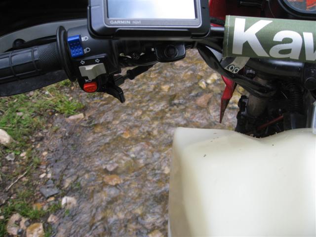
I use a little garmin nuvi2 from walmart for 70 bucks.  Not a good picture but it was the only one i could find. | ||
Froggy |
I hated that about the Quest, but on my Zumo 550, all my bikes use the same mount.  | ||
Pwnzor |
I use my Garmin Nuvi 265WT, it's not waterproof, but I have no problem operating it with gloves on. AND it didn't cost $799.99!!!!!! (Message edited by pwnzor on June 27, 2012) | ||
Oldog |
Nuvi 1450T the ram mount is like 10$ power adapter 50$ from Garmin, Huge screen and cheap 200$ at wallmart, not water proof, so I keep a ziplock bag handy for rain. | ||
Jumbo_petite |
I like my Garmin Zumo 550 and it has saved my ass when I had run onto reserve in unknown territory | ||
86129squids |
I'm still wanting to hear about any good units that function well both on bike/auto applications AND on a boat... And, hopefully they don't cost an arm and a leg. Not holding my breath on that though, might get lucky with a CL search or Amazon one day. | ||
Speedfreaks101 |
Squids are you aware of the Montana? Its what I am eyeballing. Waterproof Motorcycle friendly can buy Topo maps can buy Blue charts 16hr li-ion battery or 21hr on AAA (or hardwire) Downside is no sat radio & no mp3. You also have to buy the separate maps. | ||
86129squids |
Will investigate. I'm old skool with the muzackkk, good ole CD's or radio waves will do. | ||
Toona |
Do you have or use a smart phone? I've got an iPhone 4 and use the Navigon GPS app. I'm guessing they recently got bought out by Garmin. Pros: updates on a regular basis for free, If I have my cell, I have my GPS, itunes. Bluetooth paired to my helmet, so if it does start to rain, I can put it in an inside jacket pocket to keep it dry, but still hear turn commands Ram Mount. The app was around $40. Cons: Kinda tricky to use with riding gloves on Sun glare, but you can tilt the Ram Mount to help viewing Don't want to get it wet. If you don't have/use a smart phone, please disregard  (Message edited by Toona on June 30, 2012) | ||
Xl1200r |
Toona - does the GPS work off of the cellular network at all? If I'm in the middle of the desert in Nevada, is it still going to work? Also, how flexible is the routing and how easy is it to plan routes? It's not uncommon for me to want 20+ waypoints in a route when I'm on the bike. | ||
Oldog |
SpeedFreeks gota link to montanna | ||
Speedfreaks101 |
http://sites.garmin.com/montana/ Three versions 600 - no camera 650 - has camera 650t - has camera, Topo 100 maps & a small increase in memory | ||
Pwnzor |
XL1200R - On an Android phone, when you plot your course it will load the entire map for your journey, and include about 0.5 miles on either side of the main route. From that point forward, as long as you do not deviate from that route, you'll always have the map whether you have data coverage or not. On any smartphone, maps can be downloaded, and the GPS will work anywhere. This typically costs a few bucks. | ||
86129squids |
Hmmm... Gotta admit that I'm reluctant to switch to a "smartphone"- I've seen way too many peeps made downright STUPID by them. Polite society is now very damaged by general moronic behavior involving these dang things. Plus, I'm with Verizon, and wary of paying them more $$$, especially when they'll force me into a new contract if I make any changes. Anyone had a chance to actually use a smartphone out on the water? Holla... |